The Lincoln Highway Association adds RV Campgrounds to its interactive website map.

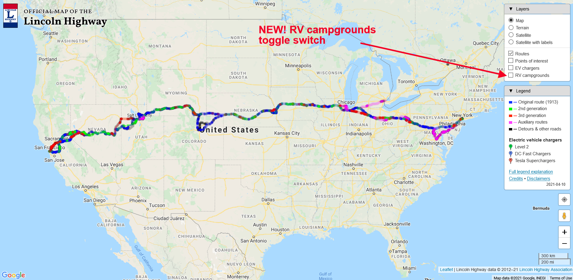
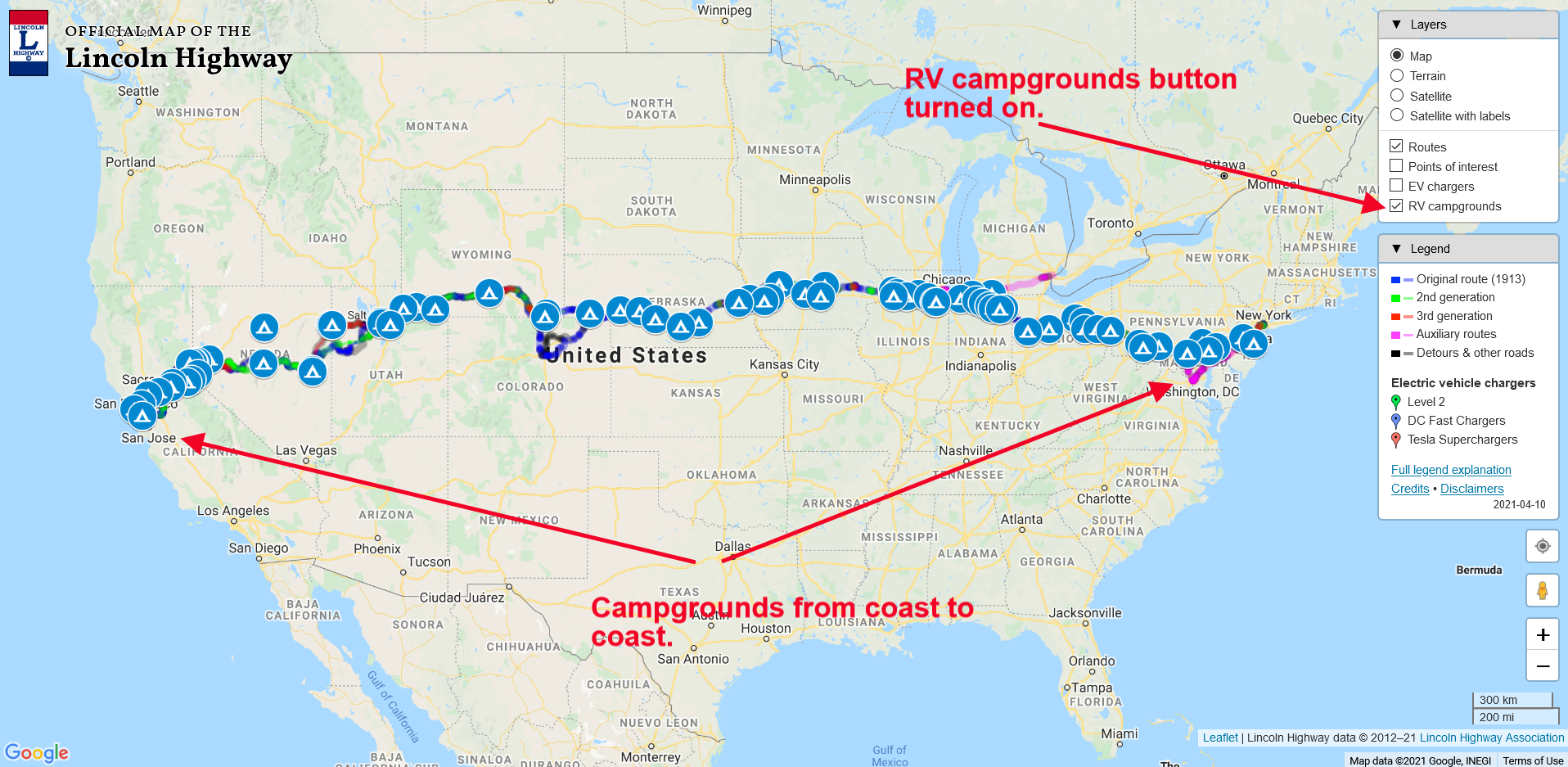
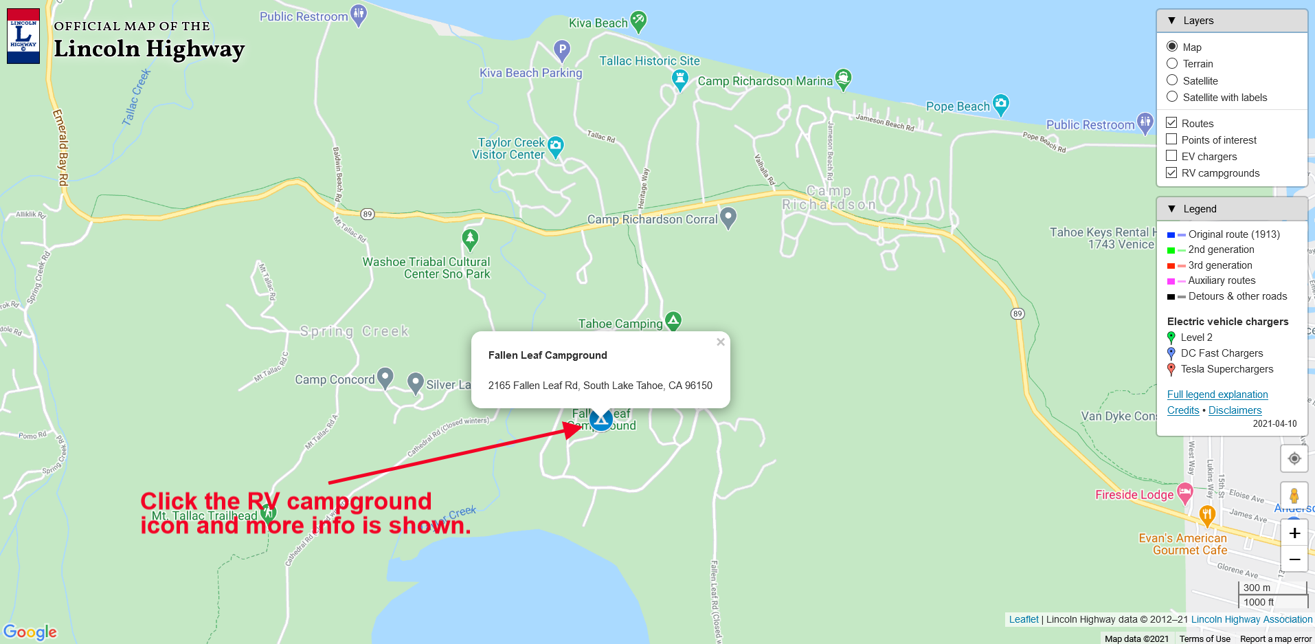
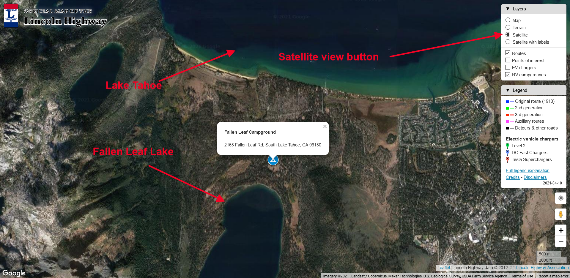
Those planning a vacation trip along the nation’s first highway can now identify the locations of RV campgrounds using the homepage association’s website: www.lincolnhighwayassoc.org. Clicking on the blue tent symbol at any point along the national route displays the name and address of the campground in a pop-up box.

Established in 1913, the Lincoln Highway still exists in its many forms, clearly marked and offering a taste of motor travel as it existed before the Interstates.

Experience it a piece at a time in one or more of the 13 states through which it passes, between Times Square and San Francisco.

The online integrated map can help plan a trip and guide travelers along the way. Thousands travel over the route every year. Get off the four-lane whenever you wish and pick a more relaxed way to motor through the towns and villages that carry that unique taste of Americana.

There are hundreds of stop-over choices along the way including, historical attractions, sites of interest, and camping locations liberally situated. It’s the road that challenged the way Americans traveled, and it’s waiting for new explorers today: driveable, prosperous, and ready to host a most pleasant, informative, and memorable adventure.

For more information contact:

John Jackson, Marketing Section
Lincoln Highway Association
PO Box 1326
Delaware, Ohio 43105
Website: lincolnhighwayassoc.org
e-mail: hq@lincolnhighwayassoc.org

Social Media:
Facebook
Twitter
Instagram

The online Lincoln Highway map now includes RV campgrounds!

Soon it will be time to hit the road for some camping adventures. Now you can find out where the best campgrounds are using our Lincoln Highway interactive map.

You can see the new “RV campgrounds” button that you “click” to bring up the campground icons in the map below.

Once the button is clicked, the RV campground icons will show across the country. This is a work in progress, so as we discover more quality campsites, we can add them to the map. Check out the map below to see what clicking the button does.

The default view for the map shows the entire country. To see more detail, zoom in using the “+” button at the lower right. You can continue to zoom in until the street names become visible, as seen in the screengrab below. Here we see the Fallen Leaf Campground just south of Lake Tahoe, California.

Don’t forget that you can also toggle the map to a satellite view by clicking the “satellite” button, shown with the map below and the red arrow. Pretty cool!

Now that our cartographer Paul Gilger has added the RV Campgrounds to our expanding list of features, we will be presenting a “how to use our map” tutorial shortly. We’ll let you know here when it’s available for viewing.

Start planning that Lincoln Highway camping adventure today!